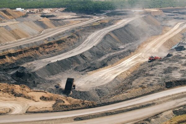
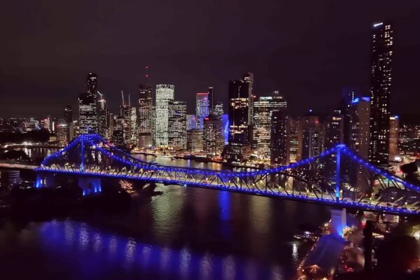
Showcase, Mining, Drone & Aerial
A curated reel of drone and mining videography captured at leading Australian mine sites, showcasing aerial footage, ground content, and large-scale industrial visuals.
Read More
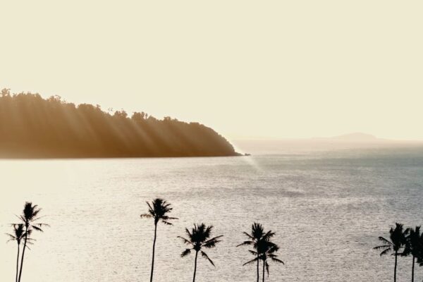
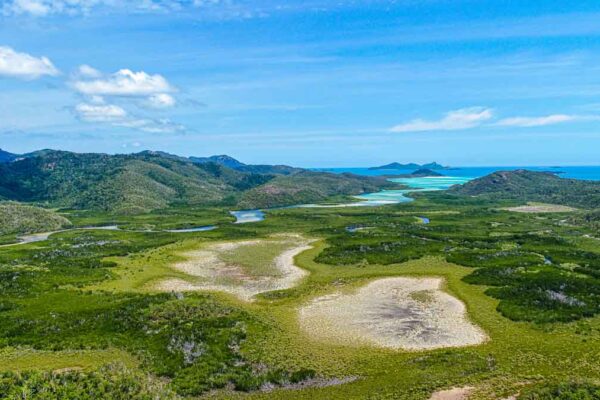
Commercial, Photography, Tourism, Content Creation, Drone & Aerial
We captured Yangaro’s Whitsundays Babymoon experience through stunning videography and photography — delivering a luxury content suite for digital, social, and advertising use.
Read More
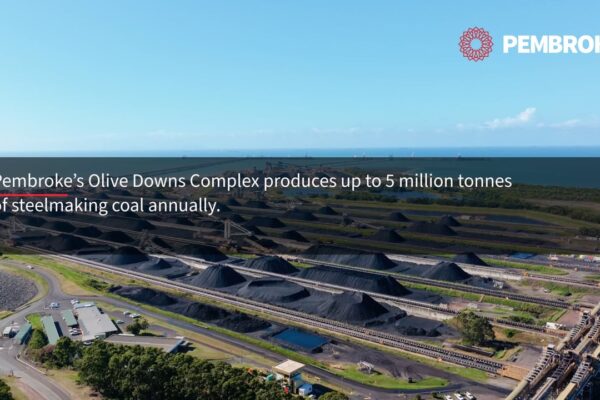
Commercial, Mining, Drone & Aerial
We delivered mining videography and photography for Pembroke Olive Downs, documenting the coal journey from pit to port for promotional and stakeholder-focused content.
Read More
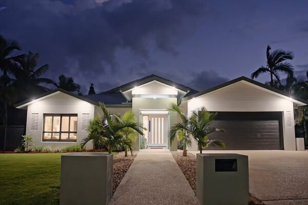
Content Creation, Drone & Aerial, Real Estate
Real estate video project for Bella Property in Galbraith Park, Whitsundays — combining drone and walkthrough footage to elevate property marketing outcomes.
Read More
Commercial, Showcase, Tourism, Content Creation, Mining, Drone & Aerial
Aerial drone showcase filmed across Australia and internationally, capturing FPV and cinematic visuals for tourism, mining, events, and creative productions by Th3rd Dimension Media.
Read More
Commercial, Drone & Aerial
Queensland Parks & Wildlife Service | Trail Mapping & Aerial Survey Operations Project Type: Environmental Mapping & Aerial Survey Operations Client: Queensland Parks & Wildlife Service (QPWS) Services: Drone Mapping · Aerial Surveying · Environmental Data Capture · Terrain Mapping · Vegetation Analysis · Remote Operations Location: Whitsunday Islands · […]
Read More