TDM Drone Mapping for QPWS: Looking Back as the Ngaro Track Opens
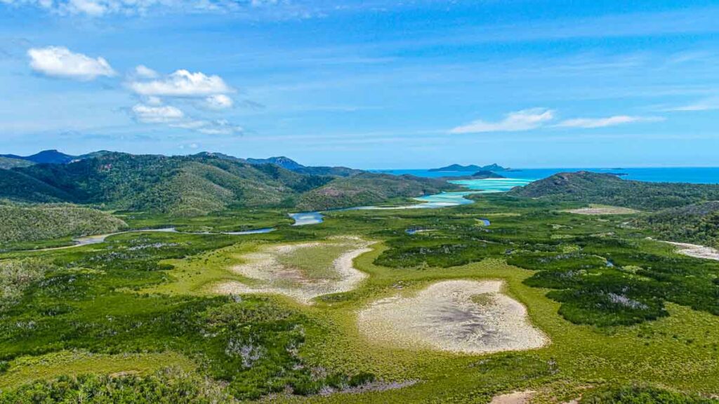
In March 2019, TDM carried drone equipment into remote parts of Whitsunday Island to help Queensland Parks and Wildlife Service (QPWS) document terrain, vegetation and potential walking routes. With the Ngaro Track welcoming its first walkers in 2026, we’re looking back at the aerial mapping and reconnaissance work behind our involvement in those early planning stages.
The project shows a practical side of our drone work: capturing imagery that helps clients understand a site, review difficult terrain and plan their next steps.
Drone mapping for QPWS in the Whitsundays
Our QPWS drone mapping project covered several missions across the Whitsunday Islands, supporting walking-trail planning, proposed visitor infrastructure and environmental assessment.
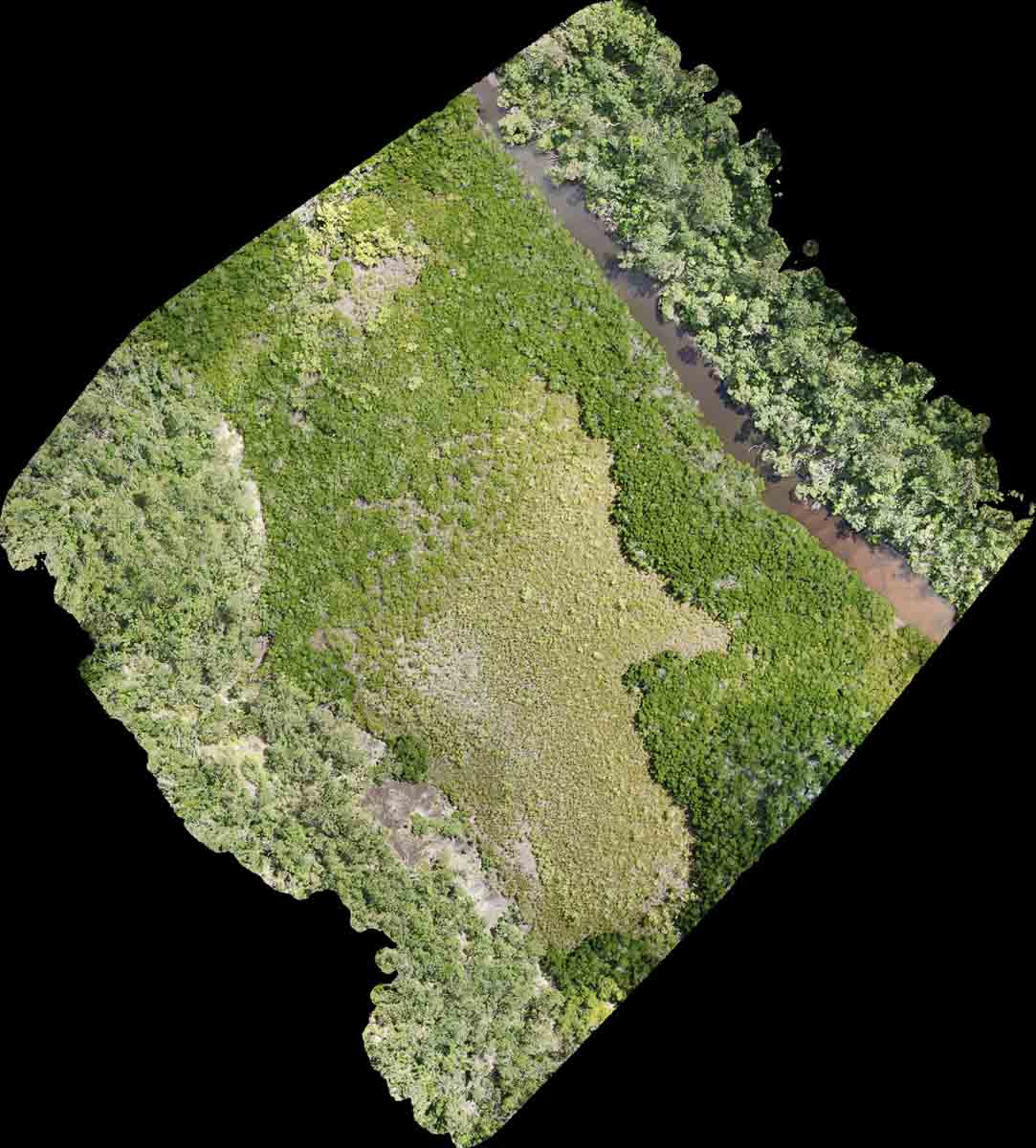
At Hill Inlet, the team carried equipment on a two-hour hike to reach the capture area. We mapped approximately 5.7 hectares of mangrove and inlet terrain, using planned autonomous flights to collect more than 300 high-resolution photographs.
The work produced georeferenced imagery, orthomosaic mapping and terrain models for QPWS to review. An orthomosaic brings overlapping aerial photographs together into a mapped overhead view, making it easier to examine the relationship between vegetation, waterways and proposed infrastructure across a site.
Reaching remote routes by foot and helicopter
Access was an important part of the brief. Alongside the Hill Inlet hike, helicopter-supported reconnaissance allowed us to reach elevated terrain and walk proposed routes with QPWS rangers, documenting potential campsites and viewpoints.
We also captured aerial reconnaissance at the northern and southern ends of Whitehaven Beach to support review of proposed lookouts and visitor infrastructure. Working across these locations required capture planning, equipment transport and coordination with the rangers on the ground.
Our contribution was aerial data capture and reconnaissance during planning. The track’s construction and subsequent visitor operations were separate stages delivered by the project partners.
The Ngaro Track is now open to booked walkers
Fast forward to 2026: the completed Ngaro Track offers a 32-kilometre, three-day, two-night journey across Whitsunday Island, starting at Whitehaven Beach and finishing around Hill Inlet. The route includes ridgelines, forest, mangroves and two dedicated hikers’ camps.
QPWS confirms that independent walkers began in April 2026, followed by guided walks in May. Developed in collaboration with the Ngaro People, the walk includes cultural interpretation alongside the island’s natural landscapes.
The full track requires a valid booking. It includes challenging Grade 4 and Grade 5 sections, with boat access and advance planning essential. The official Ngaro Track walk overview provides the route, daily distances and preparation information.
Drone inspection and mapping capabilities at TDM
Our drone and aerial services extend from photography and video to mapping, visual inspections and site documentation. Depending on the brief, we can capture overhead mapping imagery, terrain models, infrastructure views or repeat aerial records of construction progress.
Mapping helps a client see how features connect across a wider area. Visual inspection focuses on details such as roofs, infrastructure or visible storm damage, providing imagery for the client and their specialists to assess. The capture plan and deliverables need to match the decision the client is trying to make.
The QPWS work remains a useful example of that approach: understanding the location, reaching the right capture points and delivering visual information with a clear purpose.
Planning a remote-site capture, drone inspection or mapping project? Talk to TDM about your site and the information you need.