Project Type: Ongoing Aerial Drone Site Documentation
Client: Alder Developments & Alder Constructions
Services: Drone & Aerial
Location: Airlie Beach · Whitsundays · Queensland · Australia
Project Overview
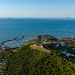
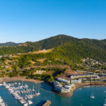
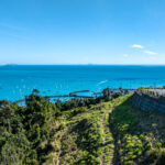
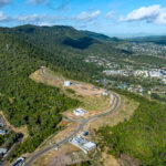
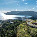
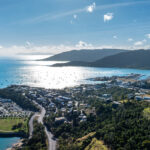
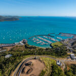
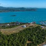
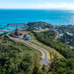
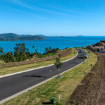
Alder Airlie Summit is a master-planned residential development on the highest zoned land in Airlie Beach, and TDM was engaged to capture ongoing aerial drone photography documenting its progress. This update is the first in a periodic series of site captures planned across the life of the project.
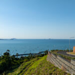
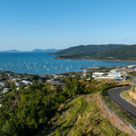
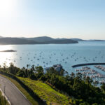
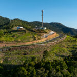
This round of capture covers a site complete milestone, with drone photography shot across morning and evening light to document the estate’s progress and its position above the township.
About the Client
Alder Developments, alongside its construction division Alder Constructions, is behind Airlie Summit — a 24-hectare master-planned community of 89 residential and apartment lots on the highest zoned land in Airlie Beach, backing onto Conway National Park. The estate captures panoramic views across the Whitsunday Islands, Coral Sea, and the township below, and is one of the last major subdivisions available in the area.
Production Scope
- Aerial drone photography of the completed site, captured across morning and evening light
- First instalment of an ongoing, periodic site update series planned for the life of the development
- All imagery delivered high-resolution and web-optimised for marketing and sales use
On Location
This was a drone-only capture, shot from atop Airlie Summit directly above the Airlie Beach township. The main factor on the day wasn’t weather or access, but airspace — Airlie Summit sits over one of the busiest and increasingly congested stretches of airspace in the region, with the township’s air and tourism traffic operating directly below. The flights were planned and flown without incident, working within that environment rather than around any site-specific constraint.
Photo Gallery
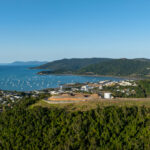
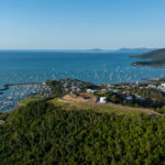
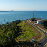
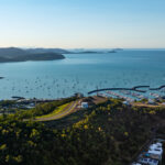
Outcome
Alder now has an updated set of aerial imagery documenting Airlie Summit’s progress, ready for use across sales and marketing. As the site continues to develop, TDM will return periodically to keep the visual record current.
For TDM, this project reflects the kind of ongoing, low-friction aerial documentation that development clients rely on — consistent capture over time, flown safely in genuinely busy regional airspace.
🔗 Explore more: